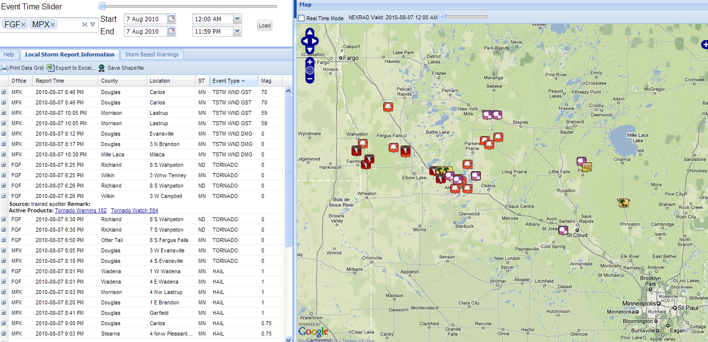
One storm in particular produced at least 2 tornadoes West of Campbell in Wilkin County, shortly before 6:30 pm Central Time. Some dramatic video of one of the tornadoes can be found here on YouTube. One piece of advice to the individual who shot the video: when you're that close to the tornado, please don't drive toward it until it crosses the road at a safe distance (you'll see what I mean during the first 20 seconds of the clip - not a good idea, and he is lucky not to have been hit with flying debris).
The radar image below is from the Fargo/Grand Forks, ND radar (KMVX). This image is in reflectivity mode (i.e., shows radar echoes of rain, hail, etc.) and was taken at about the same time the tornado report from 3 miles West of Campbell (noted by the red dot West of Campbell) was received.

Unfortunately, the tornadic storm was located just over 90 miles from the radar site, which means the lowest level radar beam at that distance is shooting at about 10,000 feet above ground level. This sometimes makes it difficult to issue a radar based tornado warning, as the low-level circulation is often "hidden" below the level of the radar beam. This is where good old fashioned ground-level storm spotting does best in issuing timely warnings.
A Tornado Warning was, in fact, in effect for just over 20 minutes prior to the actual ground reports yesterday. Folks definitely had advance warning, and from the lack of death/injury reports so far, I'd say that paid off bigtime! (Note, after you click on the tornado warning link, if the image does not come up in the browser window that will open, click refresh on that newly opened browser and it should repopulate).
No comments:
Post a Comment